
As with most of my trips, the intent to go to the Richtersveld for a photographic trip started at least two years before it actually happened. Due to its isolation and unforgiving environment, this is not a park to travel in alone, so it requires not only detailed planning and preparation, but also at least one other suitable vehicle. A first attempt to travel in April had failed due to conflicting schedules, but this time, in mid August, one other couple is available, and the trip is on. This may turn out to be a better time to travel, with the start of the Namaqualand flower season often around mid August, depending on the winter rains.
Since most people I talk to about the trip say "And where exactly is the Richtersveld?", the map below shows where the park is:
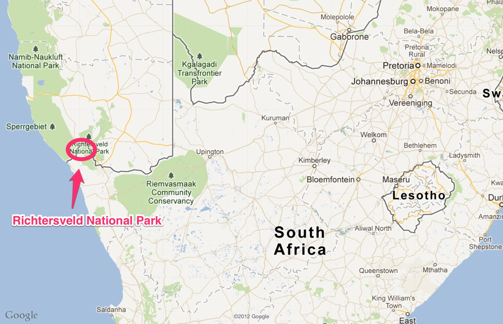 |
| Richtersveld National Park location |
Four sites within the Richtersveld National Park are in the plan - 2 nights camping at each of Potjiespram, Kokerboomkloof, and Richtersberg, and ending by one night at the Gannakouriep Wilderness Camp (chalets). Thereafter my travel mates will return to Joburg, and I will stay an extra couple of nights around Springbok to try and catch some of the flowers in either the Goegap Nature Reserve just outside Springbok, or further south in the Namaqualand National Park,
Much planning went into the preparation of this trip - reading magazines, other peoples' trip reports and paper maps, consulting the Garmin and Tracks4Africa maps, as well as plenty of time studying the terrain using Google Earth. All the accommodation in the park was booked online directly on the SANParks website. My vehicle is a Forrester, and my mate Dave 'cable tie' Hill will be driving his LandCruiser. Apart from the standard camping equipment we have 2 spare tyres for the Cruiser (but only one my Forrester), tyre repair kits, radios, sand tracks, plenty of drinking water (there is none in the park), and extra fuel for the Forrester. The Garmin is pre-loaded with all the junction markers (RT1, RT17, etc.), as well as pre-built routes between campsites. We will also be carrying paper maps (much better for getting a sense of the space and general directions).
No comments:
Post a Comment